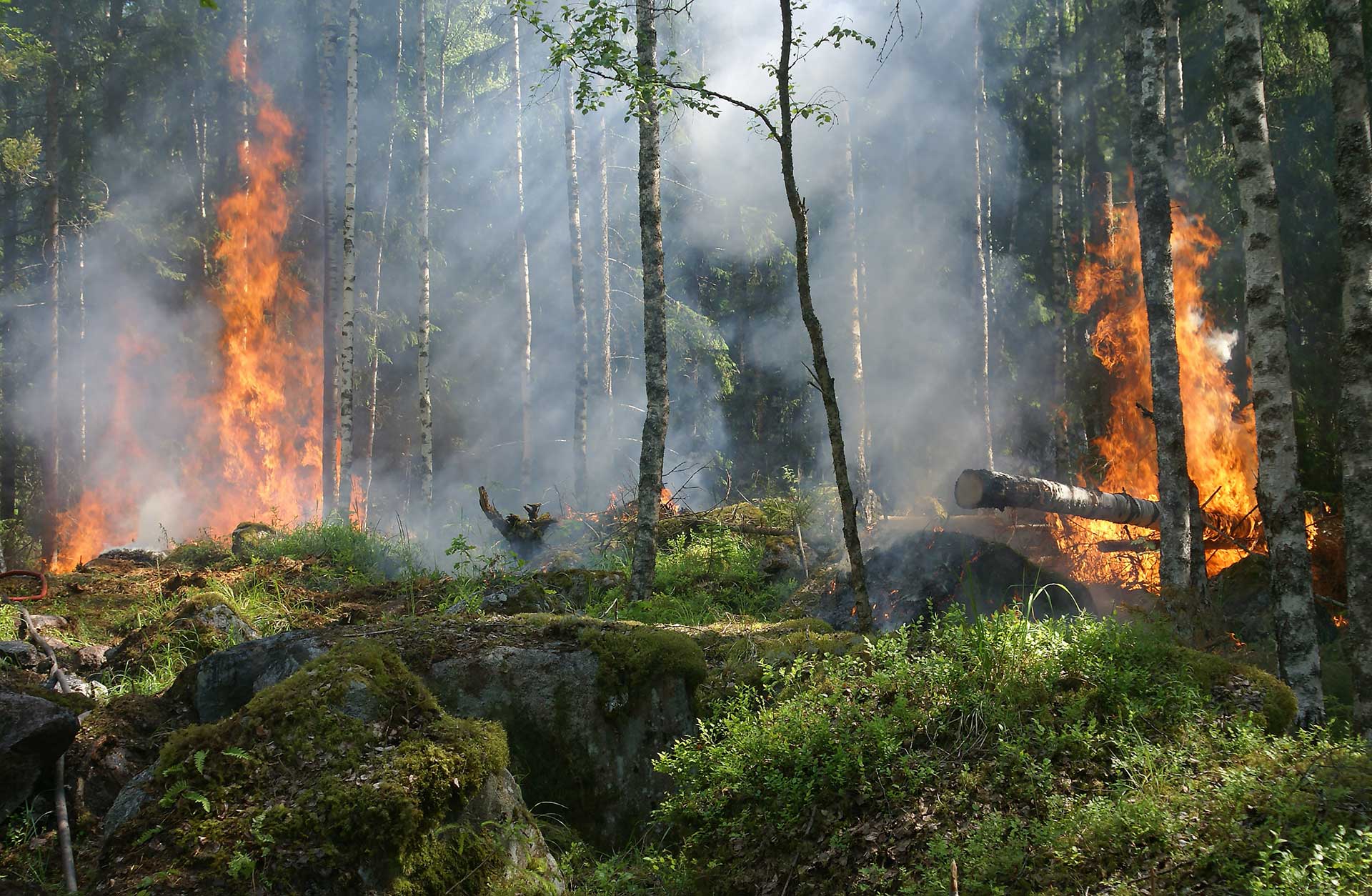
News & Updates
News
New Data Added!
August 2022: Wildfire Risk to Communities now includes tribal areas and updated data on vulnerable populations
Tribal Areas Added
Tribal areas are now delineated in Wildfire Risk to Communities. Find information about wildfire risk to homes, wildfire exposure, wildfire likelihood, and vulnerable populations for tribal areas in all 50 states in the Explore section.
Latest Census Data Available
Wildfire Risk to Communities has been updated with the latest data from the U.S. Census Bureau’s American Community Survey for all communities, tribal areas, counties, and states. Find information about socially vulnerable people in the Explore section under Vulnerable Populations. Variables include families in poverty, people with disabilities, people over age 65, people with difficulty speaking English, households with no car, and mobile homes.
Coming Soon!
This fall new features will be added to Wildfire Risk to Communities, including interactive maps of social vulnerability and new resources for reducing risk. Subscribe for updates.
Webinars and Trainings
How to use Wildfire Risk to Communties
New Features and Data
Watch this webinar hosted by LANDFIRE to see information and a demonstration of new features and data in the Wildfire Risk to Communities website. Presented October 14, 2020.
Using the Wildfire Risk to Communities website
Watch this webinar hosted by LANDFIRE to see a demonstration of the Wildfire Risk to Communities website, including use of the interactive maps, charts, and resources available for every community, county, and state in the U.S. Learn how the website and downloadable resources can help community leaders such as elected officials, community planners, and fire managers prioritize actions to mitigate risk. Presented May 21, 2020. Download slides (PDF).
Data, science, and methods behind the Wildfire Risk to Communities website
This webinar, hosted by LANDFIRE, presents the science and data used to calculate and map wildfire risk nationwide in the Wildfire Risk to Communities website. Hear from the project’s technical lead about the use of LANDFIRE and other input datasets, the methods for modeling and mapping wildfire risk, and the data products available through the website. See a demonstration of the website and how to download geospatial and tabular data. Presented May 28, 2020. Download slides (PDF).
Media Featuring Wildfire Risk to Communities
NBC News: The Covid-wildfire link: The Oregon Bootleg Fire bodes ill for our post-pandemic wild spaces
During the pandemic we’ve moved to warmer places, to be closer to family and to have greater access to nature — largely to the West and the South. Moving, essentially, to the very regions at greatest risk of wildfire, putting more of the population and their housing at risk (you can find your community’s risk here).
July 12, 2021
Idaho Statesman: ‘A matter of when’ it burns: Boise growth reaches areas at extreme wildfire risk
A U.S. Forest Service map of wildfire risk shows most of Idaho is extremely likely to burn. The agency also found homes across Idaho are at high risk.
June 6, 2021
ESRI ArcGIS Blog: Improving the Understanding of Wildfire Community Risk
GIS and spatial analysis are a powerful tool to be able to understand and plan for these risks. Fortunately there are a series of 15 new layers in ArcGIS Living Atlas of the World to help map and analyze risk from wildfires in your community.
May 12, 2021
KOIN Podcasts: Beyond the Headlines: Defending the home front
Many people live closer to wildfire danger than they might expect
April 27, 2021
Investigate West: Visualizing Climate-Vulnerable Communities
This sort of mapping adds information that tells us who lives nearby, and how they live. It identifies communities where environmental threats compound each other and where they may cause the greatest harm.
February 24, 2021
NPR: Is Your Home At Risk of Wildfire In A Changing Climate? 6 Questions To Ask
What’s the risk of this neighborhood burning in a wildfire? This searchable U.S. Forest Service map shows wildfire risk across the country.
October 18, 2020
NPR: Undisclosed: Most Homebuyers and Renters Aren’t Warned About Flood or Wildfire Risk
Like millions of people every year who move, the families had access to a wide variety of information about everything from schools to public transit to lead paint. What they never learned, until it was too late, was that their homes all were in areas that are increasingly prone to flooding or wildfires.
October 18, 2020
NFPA Journal: Giant Step: The view from the NFPA’s Wildfire Division
A government-led effort results in a powerful new online tool to help communities evaluate—and act on—their wildfire risk.
September 1, 2020
Science Spotlight: Wildfire Risk to Communities
As wildfires increase in frequency and severity across the country, Wildfire Risk to Communities is designed to inform the public about wildfire risk and to connect communities with resources to mitigate risk.
September 11, 2020
Eyes on Earth Podcast
In this episode, we hear from Frank Fay of the USDA Forest Service, who describes a new website that represents the first national tool on wildfire risk designed with communities and the general public in mind.
May 4, 2020
USDA Radio: A new online tool in community wildfire risk mitigation
A new U.S. Forest Service website contains data and technology assisting communities in wildfire prevention and protection efforts.
April 4, 2020
News Release: USDA Forest Service releases community wildfire risk website
For the first time, community wildfire risk has been mapped nationwide to help community leaders mitigate risk. The USDA Forest Service today announced the free, interactive, easy-to-use website, Wildfire Risk to Communities. This website is designed to help community leaders nationwide understand how wildfire risk varies across a state, region, or county and allow them to prioritize actions to protect their communities.
April 9, 2020